
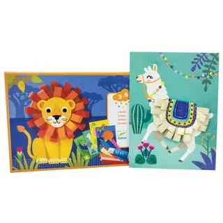
New Items


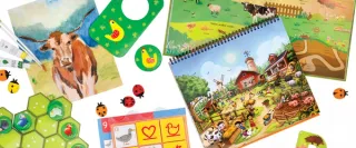
Customize your Curriculum Kit
Step up his math, or go back to fill in gaps. Assemble a bespoke collection that meets him where he's at and encourages him onward, without boredom or frustration.
Get started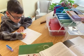


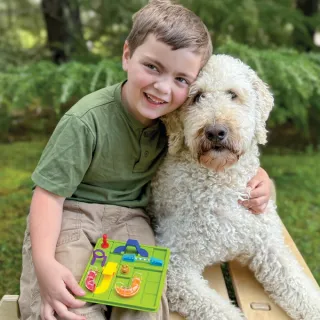
Let’s start with an assessment
Find your perfect starting point today with free assessments for preschool - 12th grade
Take a free placement test
Our Story
Timberdoodle was founded in 1985, to meet the needs of our own fledgling family and help fellow homeschoolers. Over the past 35 years Timberdoodle has become a gold standard in homeschool curriculum and now develops the curriculum that our grandchildren use.
Learn More